
Product Update: ArcGIS Base Map Layers
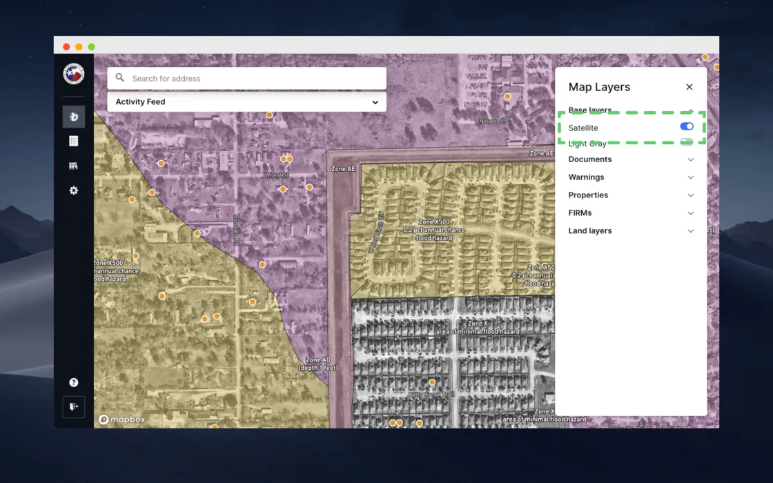
Forerunner can now support base map layers powered by third-party ArcGIS Imagery services which enabled accounts to have a community's most up-to-date aerial imagery on their dashboard map. Forerunner partner communities can share imagery through a web service with the Forerunner team that can be pulled into their dashboard map as a base layer.
Receive a monthly update from us with news, product updates, and resources from our team.
Receive a monthly update from us with news, product updates, and resources from our team.
Receive a monthly update from us with news, product updates, and resources from our team.
Thank you! You can download the whitepaper with the links below:
Download NowDownload NowReceive a monthly update from us with news, product updates, and resources from our team.
Receive a monthly update from us with news, product updates, and resources from our team.
Ready to see how Forerunner can support your community?
Book a demo