
Peterborough, New Hampshire, sits at the convergence of two major rivers - a meeting point that has shaped the town’s identity as a historic mill community and continues to define its flood risk today. With century-old buildings along the riverbanks and new development occurring in flood-prone areas, Peterborough faces the challenge of balancing growth, preservation, and public safety.
As one of only five New Hampshire communities participating in the Community Rating System (CRS), Peterborough is committed to proactive floodplain management. Until recently, the town’s staff of three was constrained by outdated, manual processes that made it difficult to manage compliance, documentation, and communication efficiently.
From Manual Records to Modern Solutions
Before Forerunner, Peterborough’s floodplain operations relied on a patchwork of analog methods - handwritten notes, scanned documents, and disconnected files.
“Before Forerunner, everything was disorganized and archaic,” said Danica Melone, Director of Building and Planning. The process of reviewing Elevation Certificates (EC) was especially burdensome. Staff spent hours manually checking each document and writing emails to contractors to flag errors.
The town needed a way to streamline floodplain operations, improve accuracy with ECs and overall their CRS work, and better serve both contractors and residents. In 2024, Peterborough partnered with Forerunner to streamline floodplain operations and create a centralized, digital system of record.
Unlocking Efficiency and Accuracy
Forerunner’s platform immediately transformed how Peterborough handled ECs, CRS documentation, and community engagement.
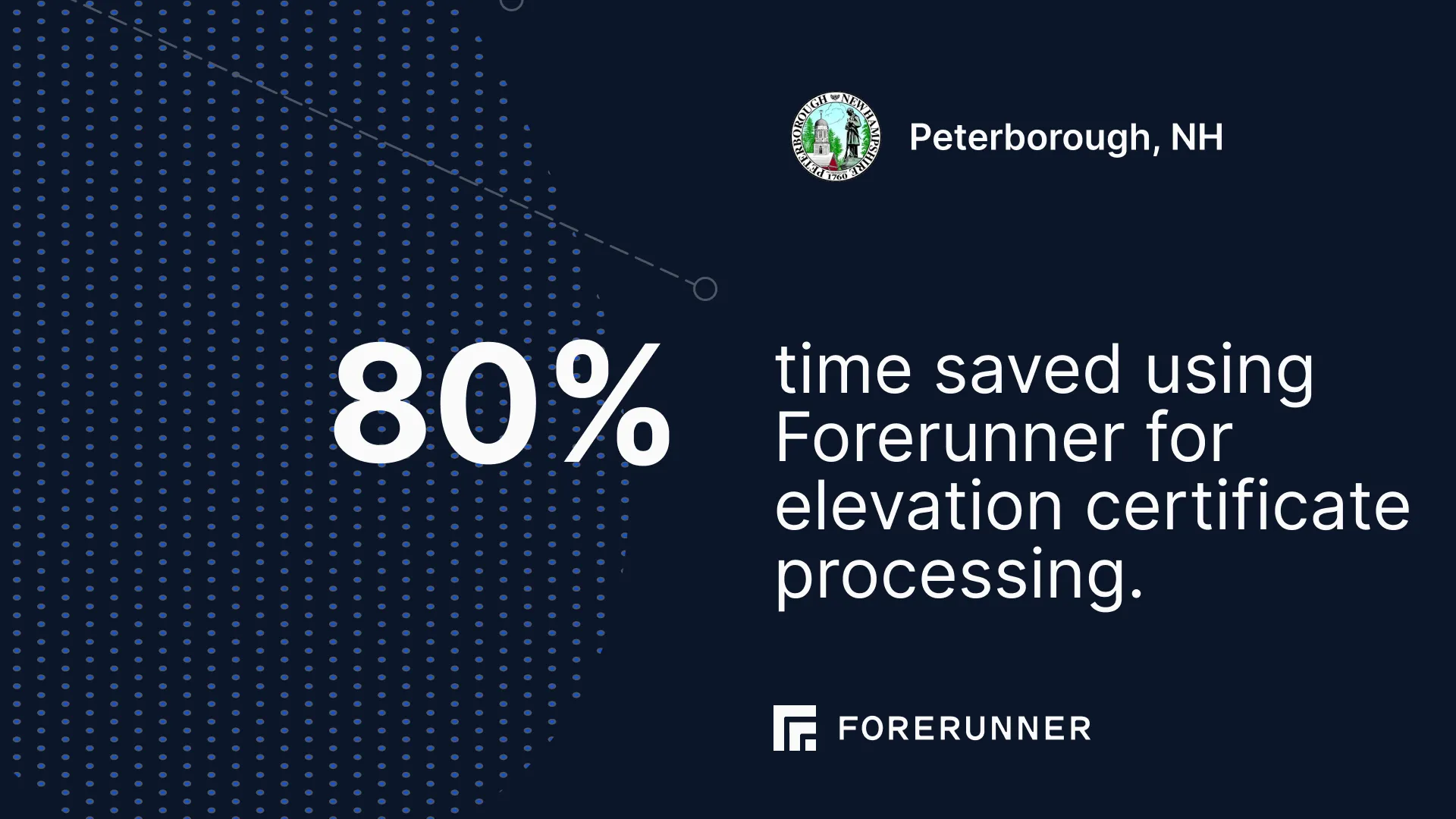
“With ECs, specifically, 80% of our time has been saved,” Danica explained. “Before, we were painstakingly going line-by-line reviewing documents. Now, it takes us maybe 20 minutes to review. It’s a huge time savings.”
Forerunner’s Elevation Certificate error detection tool and integrated communication features created new confidence in Peterborough’s CRS process. “It helps validate our work,” shared Danica. “If something looks off, Forerunner identifies it immediately, and we can send feedback to external contacts right from the platform.”
Staff estimate they have saved 30-40% of their time previously spent on documentation and tracking. The reclaimed hours have allowed Peterborough to expand its CRS activities and set its sights on improving its class rating - a milestone that would translate to lower flood insurance premiums for residents.
“Forerunner has enhanced our efficiency and also enhanced my understanding and abilities to take on more activities in the CRS program,” said Danica. “With Forerunner, we’ve added more activities for our next review cycle with the goal of moving up a class.”
A New Level of Clarity and Engagement
Forerunner did not just improve internal workflows; it reshaped how the town communicates with residents, contractors, and partners.
“Forerunner is much more user-friendly and understandable,” Danica said. “We’ve used it in planning board meetings to toggle between existing floodplain maps and proposed ones. It’s been really helpful, especially as we talk about new development.” By toggling between current and proposed maps, the town’s Planning Board could visualize how floodplain boundaries and development patterns have shifted - including areas affected by local beaver activity that changed flood dynamics.
At the municipal office, Forerunner has become a go-to resource for community discussion “When a realtor or a prospective buyer comes in, we pull up Forerunner on a monitor at the front counter. We talk about flood hazards and what’s changing in the proposed maps. Realtors walk away with our CRS brochures, and it gives us a natural segue into explaining things like flood insurance and elevation.”
This newfound accessibility has significantly strengthened community trust and fostered greater collaboration among various stakeholders. Real estate professionals, for instance, now independently leverage Forerunner's capabilities to thoroughly explore 100- and 500-year floodplains. Similarly, contractors have expressed significant appreciation for the Forerunner’s efficiency, particularly in the expedited review and approval process for Elevation Certificate (EC) corrections. The improved communication and transparency facilitated by Forerunner have created a more harmonious and efficient environment for all parties involved in land development and property management.
“Forerunner is an irreplaceable software for us,” Danica reflected. “A lot of software promises to streamline processes, but just adds extra steps. Forerunner actually works.”
Building Awareness and Long-Term Resilience
With efficiency in place, Peterborough is now leveraging Forerunner to broaden community awareness. The town has begun incorporating floodplain and habitat education into public mailers, using Forerunner’s mapping data to help residents understand both environmental and flood risks.
“We want to raise greater awareness for what floodplains are and why they matter,” Danica said. “A lot of people know they live near a river, but they don’t understand the hazards or how they can protect themselves. Forerunner gives us a way to make that information accessible.”
Looking ahead, Peterborough plans to integrate Forerunner into its Hazard Mitigation and Emergency Operations Plans, ensuring that the software continues to play a central role in resilience planning. With only three staff members, every moment matters. By saving hundreds of hours annually and improving accuracy across floodplain management, Forerunner has empowered Peterborough’s proactive approach to community resilience.
Receive a monthly update from us with news, product updates, and resources from our team.
Ready to increase your community’s resilience?
Book a demo