
Calvert County, Maryland, is located along the western shore of the Chesapeake Bay - a region highly vulnerable to coastal flooding, storm surge, and the long-term effects of sea-level rise. As a peninsula bordered by the Chesapeake Bay and the Patuxent River, much of the County’s population lives in close proximity to flood-prone areas. This geography makes flood education and public accessibility key priorities for the County’s Department of Planning and Zoning.
The department’s mission extends beyond regulatory compliance; it seeks to ensure that residents understand their flood risk and are equipped with the tools to prepare, respond, and recover effectively. To advance these goals, Calvert County partnered with Forerunner to modernize its workflows, enhance resident communication, and strengthen overall flood resilience. Since implementing Forerunner, the County has achieved a 40% reduction in time spent on floodplain management tasks, allowing staff to focus more on proactive community engagement and resilience planning.
Empowering Residents Through Clear, Accessible Communication
At the center of Calvert County’s flood resilience strategy is a commitment to transparency and resident empowerment. The County had already taken proactive steps to educate the public, including launching a video series on Facebook, YouTube, and the County’s website that covered topics such as permitting, floodplain regulations, and substantial damage designations. This initiative became a cornerstone of the County’s outreach strategy, helping residents understand key terminology and the broader framework of floodplain management.
However, the Planning and Zoning team faced a persistent challenge: managing a high volume of repetitive inquiries and navigating fragmented data systems. Many resident questions were straightforward - most commonly, “Am I in the floodplain?” - but each one required time-intensive staff involvement. The County needed a modern, resident-facing solution that could provide accurate flood information on demand while also simplifying internal processes for Community Rating System (CRS) compliance and documentation.
Forerunner offered exactly that - a centralized platform that delivers both public transparency and operational efficiency. Together, Calvert County and Forerunner launched a public flood information website featuring an interactive map where residents can explore property-specific flood data, including flood zones, Base Flood Elevations, and other relevant risk layers. The site’s “Get Help” form allows users to submit inquiries directly, automatically creating a resident log that helps staff track communication and respond efficiently.
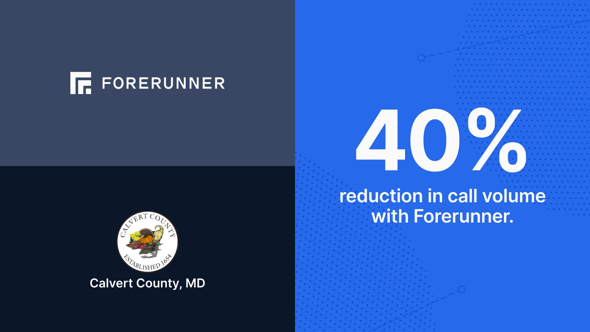
Since launching, the County has seen a substantial reduction in routine calls - a 40% decrease in total inquiries. Residents can now access the information they need independently, enabling staff to dedicate their time to more complex cases involving substantial improvements, permits, and compliance issues.
To further enhance accessibility, Forerunner worked with the County to customize elements of the website with tooltips that explain technical terms, as well as tailored disclaimers to clarify risk information. The platform is featured prominently on the County’s flood hazard webpage, integrated with other educational content to provide a seamless resident experience. These improvements have transformed technical, data-heavy information into clear, actionable guidance for residents.
In the first year following launch, Calvert County recorded more than 7,500 resident interactions, including nearly 1,000 property profile views and over 1,200 map clicks. Engagement increased sharply during the summer months, with a 200% spike in July 2025 alone. Early promotion through The Southern Maryland Chronicle, social media, and civic alerts helped drive this success, resulting in a 1,300% increase in site use within three months. These metrics underscore the County’s effectiveness in elevating public awareness and advancing its commitment to flood education, while also demonstrating a measurable shift toward proactive, self-service engagement that reduces staff workload.
Customization and Automation: Streamlining Workflows and Clarifying Risk
Beyond public communication, Forerunner has transformed Calvert County’s internal workflows. Previously, staff relied on multiple disconnected maps - including hurricane evacuation zones, wetlands maps, and Critical Area overlays - to assess flood risk. This fragmented system made it difficult to form a comprehensive understanding of property vulnerability. With Forerunner, these datasets are now centralized in a single interactive platform, allowing staff to layer and toggle maps for a complete and efficient view of potential risks.
One of the County’s most significant operational improvements has been in CRS documentation. Forerunner simplifies the process of recording and organizing floodplain data, customer interactions, and outreach activities - all critical for CRS reporting. During the County’s most recent CRS cycle verification, these capabilities supported Calvert County’s successful upgrade to a Class 7 community. While Forerunner was one of several contributing factors, it played a pivotal role in improving organization, efficiency, and documentation consistency.
The County has also adopted Forerunner’s automated Elevation Certificate (EC) review, which flags potential compliance issues and stores ECs directly within property profiles. This feature has saved staff considerable time while improving accuracy and confidence in the County’s data. “Forerunner takes some of the burden off of us,” says Ron Marney, Calvert County’s Floodplain Administrator and Environmental Planning Regulator. “We’re a small community, and it saves us a lot of work and time. It makes our life easier.”
Collaboration and Looking Ahead
Forerunner’s impact in Calvert County extends beyond individual workflows, supporting broader goals of interdepartmental coordination. The platform is helping the County plan for increased collaboration across departments such as Emergency Management and Public Works. As new dam safety and inundation mapping layers are completed, they will be incorporated into Forerunner’s system - providing shared visibility across departments and enabling coordinated outreach to properties in potential inundation zones.
With substantial progress already achieved in operational efficiency and resident engagement, Calvert County continues to expand its use of Forerunner’s advanced tools. The County also plans to adopt Forerunner’s mailing automation, allowing staff to generate and send flood zone, Repetitive Loss Area Analysis, and dam inundation notifications automatically. Each correspondence will be logged within the platform to ensure consistency and CRS compliance.
Overall, Forerunner has delivered measurable results for Calvert County - from impactful time savings to a better-informed public and more organized CRS documentation. Through this partnership, Calvert County has built a more connected, efficient, and resilient community - one that not only meets regulatory requirements but also leads by example in advancing long-term coastal resilience through data, technology, and collaboration.
Receive a monthly update from us with news, product updates, and resources from our team.
Ready to increase your community’s resilience?
Book a demo