
City of Cape May, New Jersey
FLOODPLAIN TEAM: 2 staff members
PROPERTIES: 4,218
POPULATION: 3607 (2010 census)
CRS CLASS: 5
Meet Lou & Cady.
Lou Belasco juggles multiple municipal positions in his work with the City of Cape May, NJ: he is the City's Tax Assessor, Floodplain Manager, and Community Rating System (CRS) Coordinator. Each of these roles requires specialized knowledge and Lou works closely with his assistant, Cady Yerk, to manage a diverse set of important responsibilities. Together, their small team oversees everything from real property valuation to substantial improvement tracking.
Lou and Cady's work is crucial to ensuring that Cape May stays compliant with floodplain management regulations. This is no small feat – the City is a historic vacation community at the southern-most tip of the State of New Jersey, situated between the Delaware Bay and the Atlantic Ocean. A significant portion of the community is the Special Flood Hazard Area (SFHA) so addressing flood risk head-on and doing so efficiently are priorities.

Our team at Forerunner works closely with Lou and Cady to streamline their floodplain management program and empower them with easier to access, reliable data. The City invested in Forerunner as part of a larger push to leverage digital technology in municipal government. In his words, using Forerunner has been Lou's "first step toward moving into the digital age to meet citizen needs."
"Forerunner is the go-to place. In the past, a lot of our floodplain information was dispersed all over the office. Forerunner has really brought our floodplain management office into the 21st century and into the digital age. "
Communicating Flood Risk & Streamlining Workflows
The residents of Cape May are no strangers to flooding. While the City has taken several steps in the past few decades to reduce flood risk, awareness of the community's proximity to water is constant. Says Lou: "I've lived my entire life in Cape May County at the mercy of floods. There is a general consciousness that goes with growing up within a stone's throw of the Atlantic. "
The City saw significant losses during Superstorm Sandy. While flooding damage has been minimal since then, the possibility of disaster is always top of mind.
"It sits in the backs of people's heads that flooding can and likely will come again. And the only way that we're going to mitigate that damage is through adopting new technologies like this."
The majority of the Cape May is subject to floodplain development regulations so Lou and Cady maintain vigilance in communicating flood risk to residents and enforcing building regulations. When they aren't around, Forerunner's resident-facing Flood Information Center helps diversity options for property owners seeking information. As Lou notes, "it's easy to say that you can call the Floodplain Manager to get your answers, but I'm only in the office from 8:30am to 4:30pm Monday through Friday. That might not fit someone's schedule. With Forerunner, they have the ability to go online to get the information themselves."
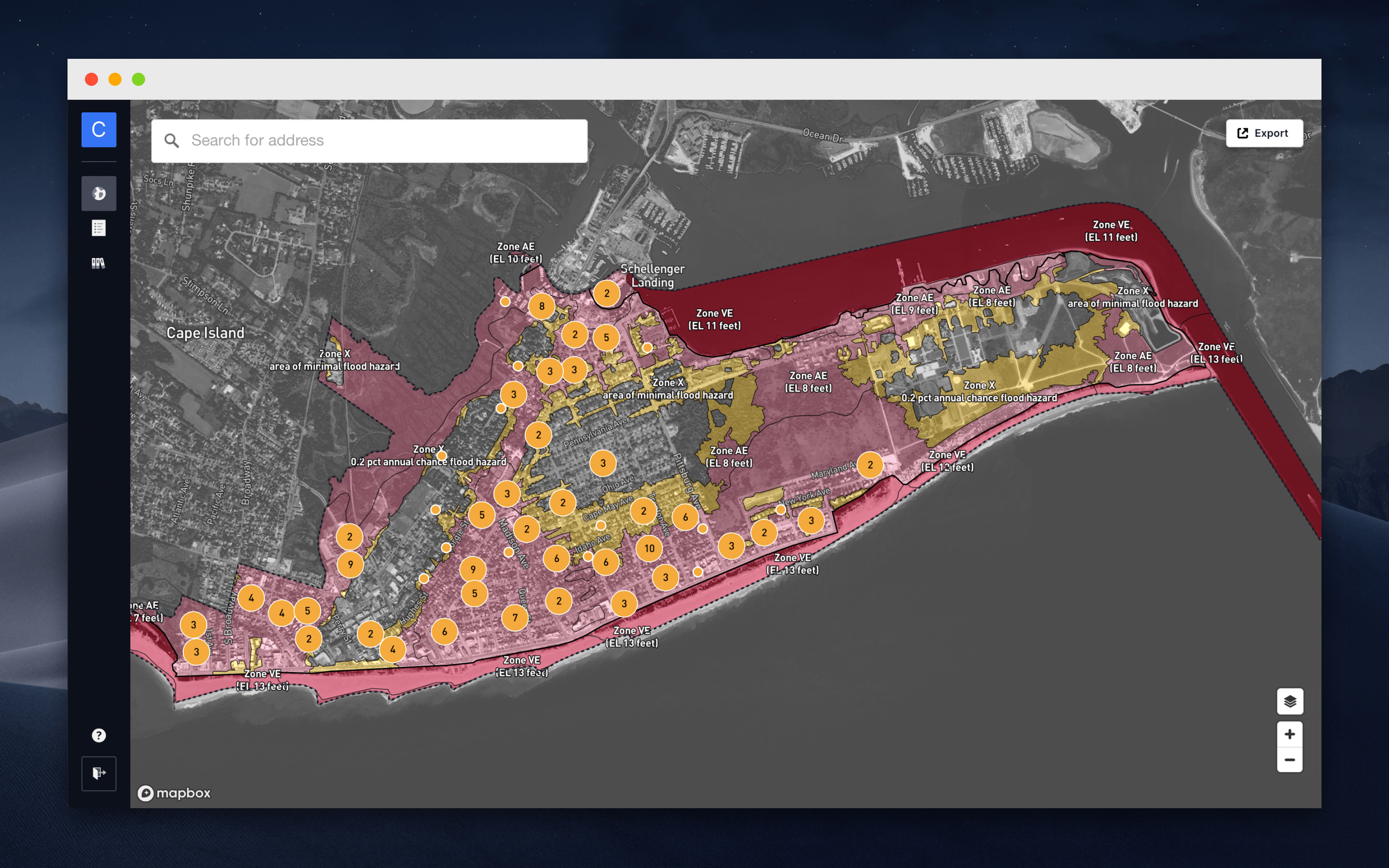
When residents do call, Forerunner's software makes it easier for the team to provide accurate flood risk information to inquirers with an internal dashboard that combines data from FEMA's map service, Lou's tax assessments, and the City's Elevation Certificate repository. Bringing this data together in a simple, easy-to-use, cloud-based dashboard has transformed the City's floodplain management workflows. Previous to using Forerunner, answering a resident inquiry or evaluating a development permit meant referencing multiple sources:
"We would be on a FEMA portal for mapping information. Then we would go to our physical files to find old Elevation Certificates. It used to take minutes just to determine a flood zone or to determine if we had an EC on file. Now it's a few seconds. We're much more efficient because we're able to pull all of this information digitally from one spot, rather than having to go through a file of 4,000+ properties."
The Future of Floodplain Management
We've been working hard to make Forerunner even better for partners like Lou and Cady. As part of our ongoing work, we recently backfilled our new Substantial Improvement/Substantial Damage (SI/SD) tracking feature with the City of Cape May's improvement data. The team is now using Forerunner to track improvements going forward. Lou and Cady's feedback is also being carefully integrated into the design of our new Elevation Certificate Error Detection feature, which will create a backstop for floodplain managers reviewing ECs.
As Lou notes, "the more intricate and expansive regulations get, the easier it becomes for an individual person to miss a thing here or there. That's where technologies like Forerunner come in – to help us make sure we're doing our job." We're grateful for the opportunity to contribute to the City's vision for smarter municipal government.
*Updated January 2022.
Receive a monthly update from us with news, product updates, and resources from our team.

Ready to increase your community’s resilience?
Request demoYou can unsubscribe at any time. View our Privacy Policy.
